1
/
of
1
Books by splitShops
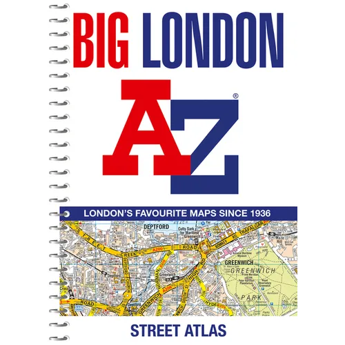
Big London A-Z Street Atlas - Spiral
Big London A-Z Street Atlas - Spiral
Regular price
$27.25 USD
Regular price
Sale price
$27.25 USD
Shipping calculated at checkout.
Quantity
Couldn't load pickup availability
by A-Z Maps (Author)
The mapping features transport connections, places of interest, public buildings, postcode districts, one-way streets, Congestion and Low Emission Zones
This comprehensive street atlas of London also includes:- An overview map of the Congestion Charging Zone
- West End Theatre and Cinema maps
- The London Rail & Tube Services Map -
- London Underground maps
Author Biography
Britain's leading street map publisher providing cartographic services, digital data products and paper mapping publications (including Street Atlases, Visitors Guides, Great Britain Road Atlases and The Adventure Atlas).
Number of Pages: 320
Dimensions: 0.79 x 11.18 x 8.27 IN
Publication Date: August 20, 2024
Share